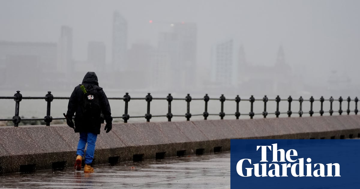
An amber warning for wind has been issued for large parts of the UK, with power cuts and flying debris possible amid the arrival of Storm Darragh, the fourth named storm of the season.
Darragh is expected to bring gusts of up to 80mph and heavy rain late on Friday and into Saturday.
The warning for “potentially damaging” winds is in place on Saturday from 3am until 9pm for the west coast of the UK from South Ayrshire in Scotland down to Cornwall, as well as in Northern Ireland.
The Met Office also issued a yellow warning for wind and rain on Thursday across parts of Northern Ireland, Wales, Scotland and England, with the warnings extending to cover the north-east and south of England on Friday.
Flying debris could cause injury or danger to life and buildings may be damaged, such as tiles blown from roofs, the Met Office said. Power cuts and large waves should be expected, and some roads and bridges may be closed, with falling trees posing an additional hazard.
National Highways, which runs the UK’s motorways and busiest A-roads, has issued a severe weather alert for Saturday and has warned motorists in the south-west and north-west to prepare for gale force winds.
It said routes likely to be affected by the strongest winds include the M5 in northern Somerset, the A30 in Cornwall and the M6 in Cheshire.
Severe winds are already affecting travel in parts of the UK with the M48 Severn Bridge in Gloucestershire closed on Thursday night because of gusty weather.
A yellow warning for rain will be in place for Northern Ireland and Wales, which were badly affected by flooding during Storm Bert, from 3pm on Friday until 12pm on Saturday.
Up to 60mm of rain could fall in these areas during the warning period, which may lead to some flooding and disruption, forecasters said.
Rhondda Cynon Taf, where between 200 and 300 properties were flooded during Storm Bert last month, was forecast to be hit by heavy rain once again. Natural Resources Wales issued more than 30 flood alerts and warnings, while the Environment Agency in England put more than 20 red flood warnings in place, with residents and business owners told to “act now”.
Simon Partridge, the senior forecaster for the Met Office, said there would be some “very dangerous” conditions particularly around coastal areas. He said: “Unless you really need to be going out in this on Saturday, it’s best to avoid it, particularly if you live in any of those areas covered by the amber wind warning … 70mph winds are dangerous and we could see, as the warnings suggest, a risk to life as a result.
after newsletter promotion
“We have a very blustery spell of weather ahead. Amber warnings are usually over small areas, but because of the track of the storm, this will actually affect quite a large part of the UK.”
The warnings come as a result of areas of low pressure propelled towards Britain by the jet stream (a flow of winds high in the atmosphere). At the core of the jet stream, speeds are expected to reach 240mph, driven by cold air across the northern US and Canada.
Storm Darragh was named by the Met Office on Thursday morning. The names run in alphabetical order, starting this season with Ashley, Bert and Conall.
Last week, questions were raised over a lack of sufficient warnings of flooding after Storm Bert wreaked havoc in parts of south Wales and south-west England as a month of rain hit sodden towns and villages.
Extreme rainfall is more common and more intense because of human-caused climate breakdown across most of the world. This is because warmer air can hold more water vapour.
Flooding has most likely become more frequent and severe in these locations as a result, but is also affected by other factors, such as the existence of flood defences and land use.
Source: theguardian.com


