Storm Kathleen is expected to bring strong winds and the hottest day of the year so far for the UK, as it brings warm air from the continent this weekend.
The Met Office said temperatures could reach 22C in East Anglia, with gusts of 70mph forecast for western areas on Saturday.
The forecaster has issued a yellow weather warning for wind in the north-west and south-west of England, parts of Northern Ireland, Scotland and Wales, from 8am to 10pm on Saturday.
The Met Office meteorologist Ellie Glaisyer said: “The storm is the reason we are seeing the warmer temperatures, because the location of the storm – situated out towards the west of the UK – is bringing a southerly wind across the UK.
“This is bringing those warmer temperatures from the continent, meaning we are likely to see temperatures reaching 22C.”
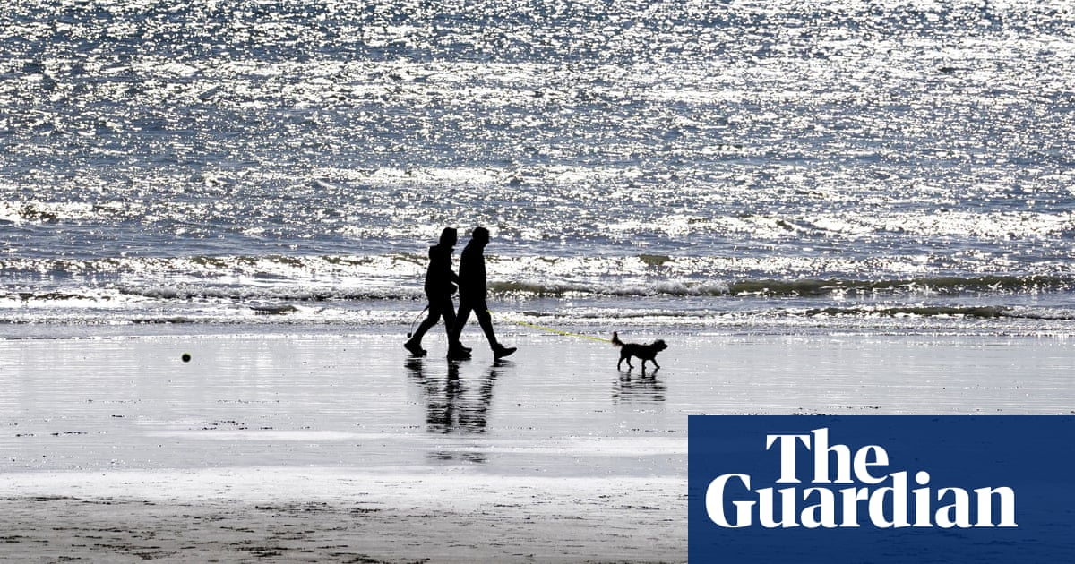
The highest temperature of the year so far was 19.9C, recorded at the end of January at Achfary in north-west Scotland.
“Storm Kathleen is likely to bring some heavy rain across the UK overnight, which will spread its way northwards across the country,” Glaisyer said, adding: “For most places it should be a relatively dry start to Saturday.”
Storm Kathleen is also expected to bring 50-60mph winds quite widely on Saturday, while some Irish Sea coastal regions are expected to get gusts up to 70mph and large waves.
An orange wind warning is in place in Cork, Kerry and Waterford until 2pm, while there is another status orange wind warning ifor Galway and Mayo from 9am until 6pm.
A yellow wind warning is in place nationwide from the early hours of Saturday until 8pm.
Forecaster Met Eireann warned that there would be gale force southerly winds that will bring a risk of difficult travel conditions, fallen trees, some power outages and flooding along coastal areas.
In Northern Ireland, the Met Office issued a yellow wind warning for counties Antrim, Armagh, Down, Fermanagh, Tyrone and Derry, which will stay in place from 8am until 10pm.
It has warned of blustery showers in parts of the region, with strong to gale force southerly winds and possibly severe gales for a time along the Down and Antrim coasts.
There could be gust of up to 70mph in some exposed and coastal areas.
Glaisyer said: “Almost anywhere is going to see above-average temperatures. Western parts of the UK are likely to see temperatures of 15 or 16C.
“However, the further west you are, where those strongest winds are in that yellow warning area, despite the temperatures being above average it will feel a little colder.”
The forecaster said winds would stay strong into Sunday, particularly in northern parts of Scotland.
“There will still be some showers around, but there should be some sunshine between those showers,” Glaisyer said. “It is generally remaining unsettled through much of next week.
“There is another area of low pressure moving towards the UK through Monday and into Tuesday. That is likely to bring some heavy rain for much of the UK, particularly in the west.”
Storm Kathleen, named by the Irish meteorological service Met Eireann, is the 11th named storm in eight months.
It is only the second time in a UK storm season that the letter K has been reached in the alphabet.
Source: theguardian.com