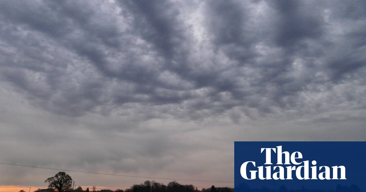
Heavy showers, hail and thunder are forecast to hit the UK days after the warmest spring equinox in more than 50 years.
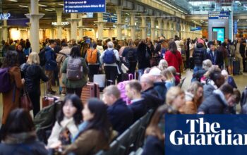
There was torrential rain in some parts on Saturday afternoon and National Highways said parts of the M18 in Yorkshire were closed while specialists worked to clear flood water.
It is expected to be a cloudy start to Sunday with rain in the north and east and sunny spells in the north-west and south-east followed by showers, the Met Office said. There will be above average temperatures for most parts of the UK topping 15C in London, 12C in Birmingham and 11C in Manchester.
The Met Office said: “Heavy showers have developed across eastern parts of England this afternoon, with some hail and thunder mixed in. Heavy, thundery showers continue in parts of London and the East Midlands, with some areas seeing 10-15mm of rain in less than an hour.”
The UK experienced its warmest spring equinox day since 1972 on Thursday with 21.3C recorded in Northolt, west London, and Chertsey, Surrey.
Jonathan Vautrey, a meteorologist at the Met Office, said: “For this time in the year, it is rarer to have such intense storms. This is happening because we have had a lot of warm weather of late and temperatures are notably above average for the time of year.
“We’ve had highs reaching over 20C over the last few days, and we were up to 18.5C as the high today as well, where we should be more around 10 or 11C.
“That sort of heat that we’ve got around at the moment has really helped to spark off some of these thunderstorms, and a lot of moisture being drawn in with this sort of low-pressure system that’s been arriving across the UK.”
Vautrey added that climate crisis is pushing temperature extremes to new levels. “We’re constantly seeing warmer temperatures at earlier points of the year compared to where they normally are.
“These sort of intense summer storms are then increasingly going to happen at more points in the year because we’re getting those temperatures in there to really allow them to start developing.”
Flood alerts from the Environment Agency remain in place for 20 parts of the country including Henley, Salisbury and Hertfordshire.
The Met Office told travellers to “take care” as “there could be some localised flooding in places”.
Source: theguardian.com