
Parts of the UK have been hit by further flash floods and the Met Office has warned of more heavy rain throughout the evening and into Friday morning.
The Tornado and Storm Research Organisation (Torro) is also forecasting that much of the south-east of England could see lightning, winds up to 50mph and even “isolated brief tornadoes”. This includes much of East Anglia, the south-east Midlands and central southern England.
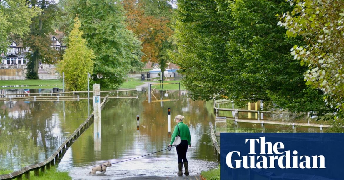
The Met Office has issued an amber warning for areas of the Midlands and the south of the country which came into force at 6pm on Thursday and last for 12 hours. Yellow rain warnings had already been in place for large parts of England and Wales and western parts of Northern Ireland.
Areas affected by the amber warning – including Buckinghamshire, Oxfordshire, Cambridgeshire, Leicestershire and the West Midlands – could see 30-40mm of rainfall within three hours, according to the forecaster.
Parts of the town of Hitchin in Hertfordshire have been struck by flooding, with police confirming the closure of Cambridge Road in the town centre, while Solihull was also hit, leading to West Midlands Railway warning of disruption and cancellations.
As of 8.23pm, the Environment Agency had 40 flood warnings in place across England, meaning flooding is expected, and 114 flood alerts, meaning flooding is possible. Areas of Bedfordshire, Northamptonshire and Oxfordshire were listed as being the most vulnerable.
The Met Office said: “Slow-moving showers and thunderstorms will develop through the afternoon, merging into a large band of heavy rain through the evening, before clearing slowly south overnight.
“Some places, especially across central and eastern parts of the warning area, are likely to receive 30-40mm in three hours or less, and perhaps 50-60mm or more in around six hours.
“This rain will fall on to already saturated ground and affect communities recovering from recent flooding. Travel disruption and further flooding is likely, with rivers continuing to rise after the rain clears.”
According to the warning, the weather could lead to difficult driving conditions and road closures. Homes and businesses were likely to be flooded and there was a “good chance” some communities would be cut off due to floods.
Delays and cancellations to train and bus services and power cuts are also likely.
after newsletter promotion
A spokesperson for the RAC warned drivers to be “aware of the increased risks of flooding”, adding: “Never attempt to drive through flood water. If a road appears flooded, the safest thing to do is turn around and find another route.
“Wet roads also increase the likelihood of aquaplaning, where a vehicle’s tyres glide on top of a thin layer of water, losing grip on the road and causing a loss of control. We strongly advise drivers to keep their speeds down and avoid standing water wherever possible.”
The rain is expected to clear during Friday, leaving much colder conditions on Saturday.
Source: theguardian.com